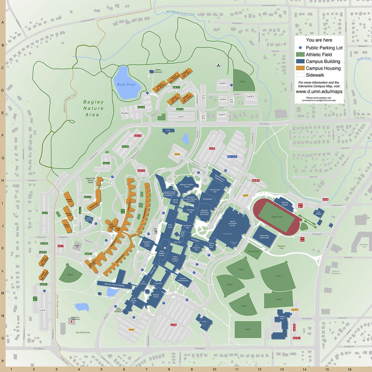
The Geospatial Analysis Center (GAC) has recently taken over from UMD Facilities Management the task of designing and managing campus maps at UMD. The project is funded by Facilities Management, $8,872 (2016). Stacey Stark, Steve Graham, and Micaella Penning, all from GAC, are overseeing the project.
The new, navigational wall maps are a long-overdue update to the previous black & white CAD drawings, and through their new design seek to create easy navigation for students and increase the sense of campus incorporation into the surrounding community.
Challenges have included creating new workflows for units who have previously managed their data outside of a GIS to using integrated campus data in a central GIS repository. GAC has also been updating campus parking maps, as well as creating maps for specific uses, such as outdoor assembly spaces and gender inclusive restrooms.
It has become GAC’s mission to be the central core for spatial data, mapping, and cartography at UMD, with the goal of clean, consistent output that will create greater cartographic congruency across campus.
Learn more about the Geospatial Analysis Center.
Creating greater cartographic congruency across campus.