This project, conducted by UMD's Geospatial Analysis Center (GAC), resulted in the creation of Geographic Information System (GIS) layers to identify areas where archaeological sites are highly probable, and resulted in a base map for conversations about sacred places. While there is a great deal of knowledge and interest in this area, cultural features have not yet been recorded in a permanent and transferable way.
GIS layers of the cultural resources allowed online maps to be made and remade for different purposes. From both regulatory and environmental perspectives, reviewing cultural resources before and during development planning will benefit coastal communities.
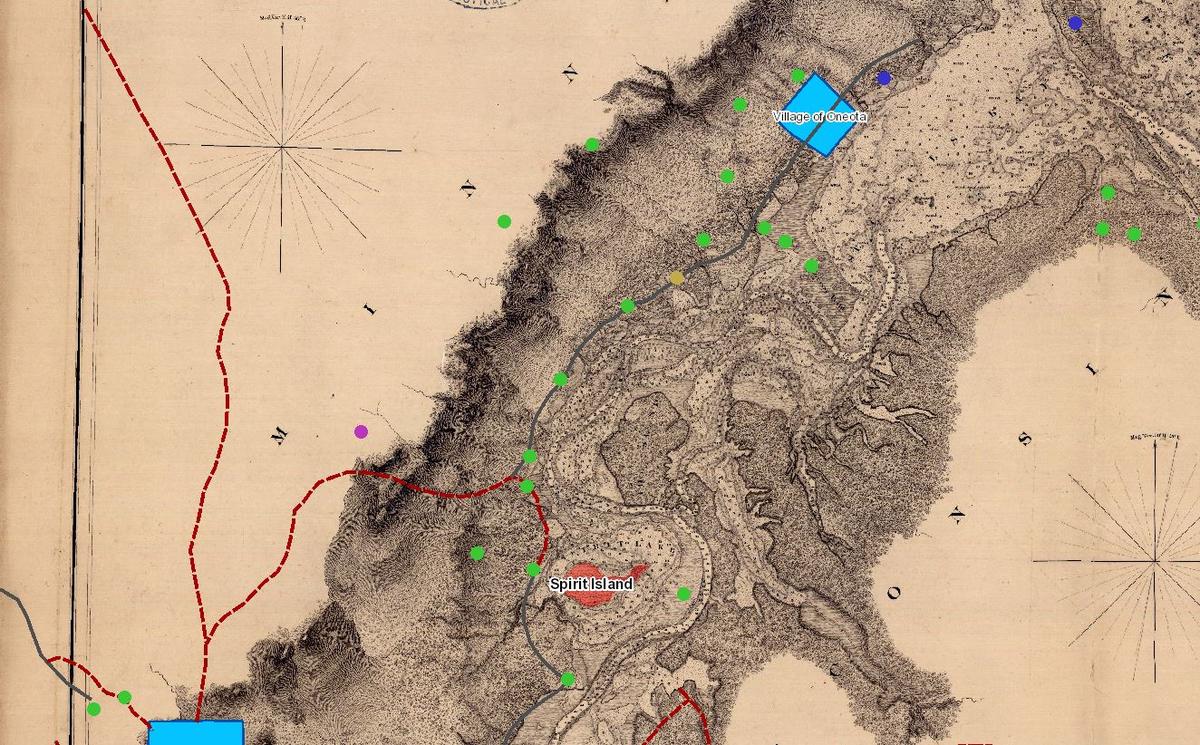
One of the layers created is the Spirit Island viewshed. Located in a widening of the St. Louis River between the Duluth Harbor and Fond du Lac below Spirit Mountain, Spirit Island was the site of many Ojibwe ceremonies as recent as the early 1900s. Areas within the valley from which Spirit Island is visible are also considered very important. The viewshed layer allows users to identify areas where Spirit Island is visible.
To view the live map, click here.
Learn more about the Geospatial Analysis Center.