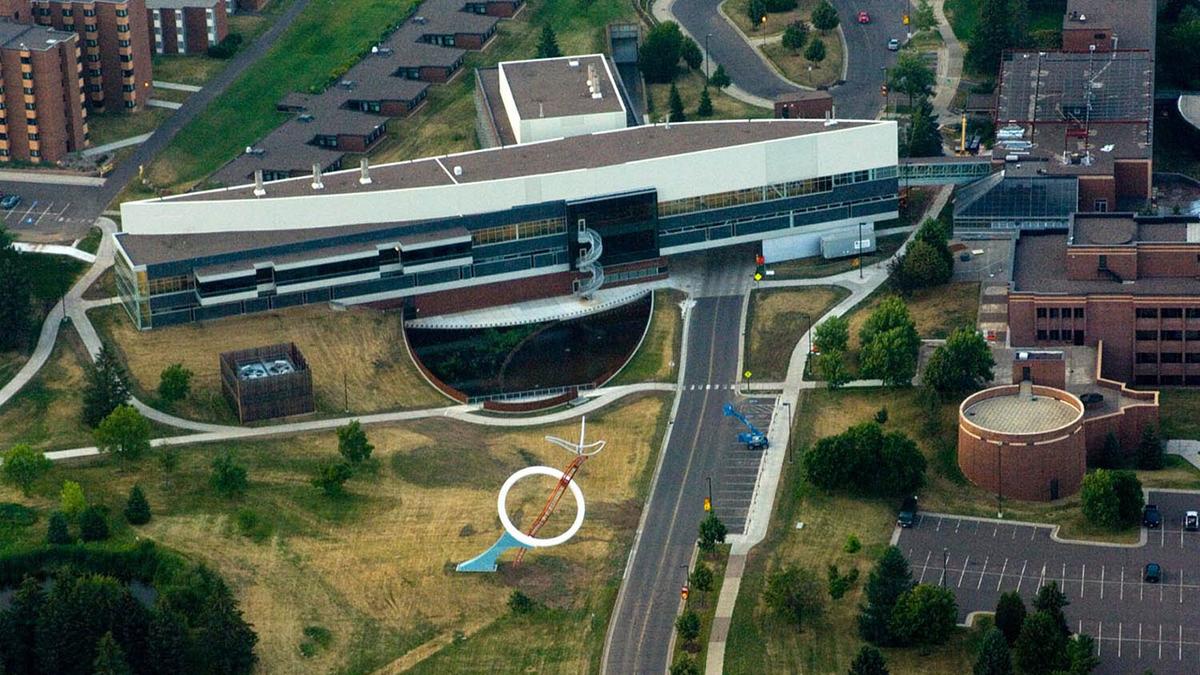
UMD's Geospatial Analysis Center (GAC) worked with the UMN Sustainable Regional Development Partnership to develop interactive mapping tools to geographically demonstrate their statewide partnerships.
Users can explore the map to determine relationships and gaps in their project database, and to facilitate new collaborations.
Learn more about the Geospatial Analysis Center.

Developing Tools for UMN Sustainable Regional Development Partnership