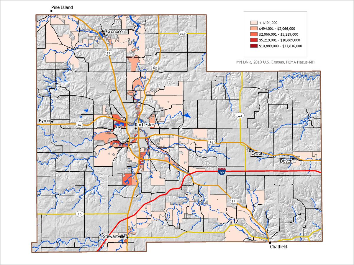
The Geospatial Analysis Center is one of Minnesota's only organizations specializing in the use of FEMA's Hazus Flood Model. This model allows for a wide range of flood hazard analyses, including hazard risk assessments for 100-year floods.
In recognition of the importance of planning in mitigation activities, FEMA created Hazards USA Multi-Hazard (Hazus-MH), a powerful geographic information system (GIS)-based disaster risk assessment tool. This tool enables communities of all sizes to predict estimated losses from floods, hurricanes, earthquakes, and other related phenomena and to measure the impact of various mitigation practices that might help reduce those losses. The Minnesota Homeland Security and Emergency Management (HSEM) office has determined that Hazus-MH should play a critical role in Minnesota’s risk assessments, and is encouraging county hazard mitigation plans to include a Hazus flood analysis.
The Geospatial Analysis Center integrates the Hazus flood model into all Hazard Mitigation Plans, as well as performs the analyses for counties across the state of Minnesota. The analysis results in a potential economic loss for a 100-year flood. We use county parcel and building value data as available to make the output as locally relevant as possible. GAC is currently conducting Hazus flood analyses for the following jurisdictions:
- Pipestone County
- Cottonwood County
- Lac qui Parle County
- Swift County
- Redwood County
- Murray County
- Lincoln County
Examples of Hazus flood model output can be seen in this story map discussing natural hazards in Scott County, Minnesota.