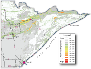
Orangey, rust-colored streams signal acid rock drainage, the result of air and water exposure to sulfide-bearing minerals. But inadvertent exposure sometimes happens for the best of reasons – safe roads for driving.
The Minnesota Department of Transportation plans its road-building goals around what will make getting from point A to point B safest for humans. Sulfur mineralization often isn’t recognized until the construction starts. So NRRI is helping MnDOT by providing detailed information about the rocks they might need to blast before the blasting starts.
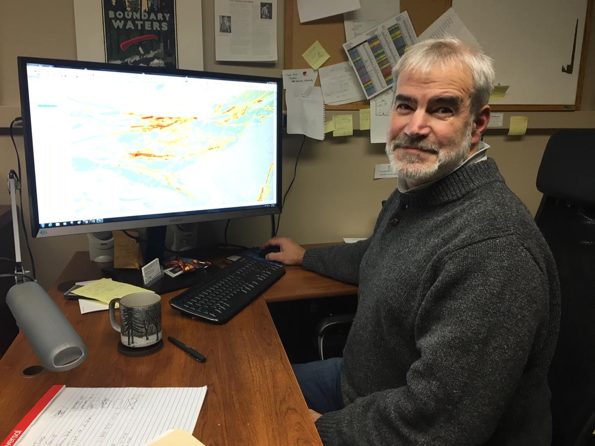
NRRI Senior Geologist Dean Peterson is quite proud of the interactive tools he developed to identify potentially acid generating rock. There’s a simplified online version for managers planning road projects so they can quickly see if the bedrock is near the surface and if it has naturally occurring sulfide mineralization. And there’s a second version with deeper information, if needed. MnDOT’s Chief Geologist, Jason Richter, is looking forward to rolling out the new tool.
“We’ll be counting on our project managers to do the mouse click on this tool,” said Richter. “I think it will save us headaches and money. Dealing with this on the fly is never a good thing.”
The online, easy-to-navigate digital map holds 142,161 polygons of data that ultimately rank the potential of sulfide exposure that might lead to acid rock drainage. It also shows MnDOT if the bedrock is above or below 50 feet. The deeper the bedrock, the less potential for disruption by road building.
Using this proactive, yet simple, tool will allow for any potential mitigation to be part of the road building plan.
“If the map shows potential for sulfide, they can look at all the data behind it, look at the geology, the structure and mineral occurrences,” said Peterson. “NRRI was able to pull this together fairly easily because we have the database.”
He explained that reams of data from water wells across the state offered a lot of information about bedrock depth. For the rest, he relied on exposed rock (geologists call them outcroppings) and mineral exploration drill holes to fill in the gaps. “And compared to many states, Minnesota has minimal sulfide deposits that are well constrained,” Peterson added.
The second part of the project will be development of a manual to guide the investigations and engineering plan by Barr Engineering. This was something MnDOT saw in use by the Pennsylvania Department of Transportation following acid rock drainage problems during a road construction project.
But NRRI’s digital map is a unique addition and first step in the process.
“Identifying where these issues could occur is a priority for the Duluth district,” Richter added.
Learn more about NRRI.