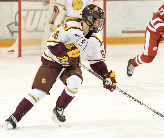
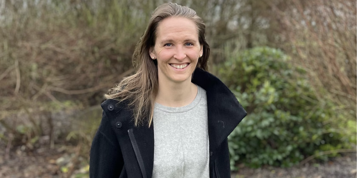
Maria Lindh, an international student from Sweden, attended UMD from 2014-2017 and studied geographic information science (GIS) and communication programs. At the same time, she played the forward position on the UMD women's hockey team.
“I had a really good time at UMD,” she says. “I started my GIS major because I liked maps and geography.” She credits Ryan Bergstrom, director of the GIS program, for showing her how data collection, spatial mapping, and analysis can solve real-world problems. Her interest in GIS, mixed with her strong communication skills, form the foundation of her work today.

Readers may remember Lindh as a UMD hockey player when the Bulldogs made the NCAA quarterfinals and two-time Olympian for the Swedish team in 2014, while she was still a student, and again just after graduating in 2018.
Now Lindh’s daily life includes less time on the ice and more time on a computer. She lives in Sweden and she works for a GIS firm where she gathers geographical information to create data-driven maps. The analysis of the data allows for insights and fact-based decision making for the clients.
During the COVID-19 epidemic, she mapped all of Sweden to keep track of how many people were vaccinated and how many were hospitalized. “We organized and distributed the data to different regions,“ she says. "It was valuable information allowing hospitals and clinics to get the supplies and personnel to avoid a crisis.“ At the time Sweden desperately needed the information. “That was a really inspiring job.”
One of her recent projects looks at data collected about street lights. She is mapping an entire city to give the electric company information so they can track how often the street lights burn out. “We can color code the map so it’s easy to anticipate when the lights will burn out. It’s much easier to read than a spreadsheet,” she says.
