Let’s be clear: A wetland is not necessarily a swamp. But a swamp is a wetland. Got it?
Swamps are one type of wetland – one that is forested. There are also shrub wetlands, marshes and peatlands (which includes fens and bogs), among others. Each type is a different ecosystem at work.
But by any name, wetlands are important. They filter and clean water, hold water to control flooding and provide habitat for many unique species of flora and fauna. Wetlands, especially peatlands, also store carbon, helping to moderate climate change.
Wetland protection and restoration are important efforts to maintain these vital ecosystems. But there’s surprisingly little data on outcomes of wetland restoration to understand if those efforts are successful.
No Net Loss
When wetlands are filled for construction or development, other wetlands of the same type must be created to replace them. This mitigation policy was enacted in 1989 and has received bipartisan support through the decades, but that doesn’t mean it’s easy.
The process of wetland restoration – returning its function as a stable ecosystem – takes many years. It’s also expensive, often with little long-term monitoring done to determine restoration success.
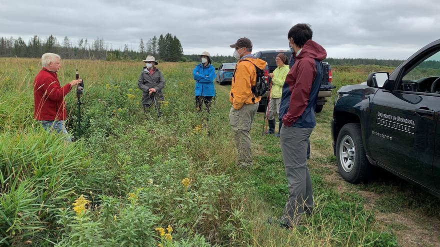
NRRI has begun a comprehensive research effort at its 425-acre fens bog near Toivola, Minn., to fill in some of these knowledge gaps. Known simply as the Fens Site, this peatland was drained in the 1950s for farmland. NRRI acquired the property in 1986 to restore wetland functions and sell peatland wetland mitigation credits for development opportunities.
“Regulatory agencies want wetland ‘functions and values’ to be restored,” explained NRRI project lead Valerie Brady. “But we rarely have the data to know whether or not this has been successful. And it’s not always clear what indicators are the best and most cost-effective to measure.”
NRRI pulled expertise from across the institute to develop a comprehensive and quantitative assessment of the Fens site. They’ll determine the effectiveness of past restoration efforts, while testing and refining monitoring methods that can be applied to other sites.
The goal is better outcomes for other public and industry peatland restorations throughout the state.

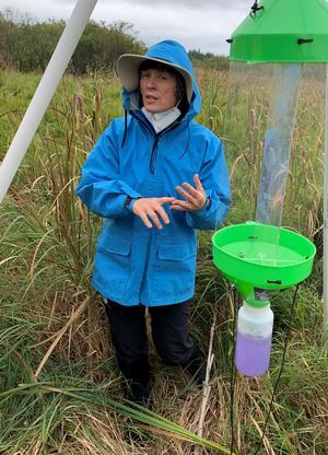
collecting invertebrates to monitor for the
study.
Fens site 2.0
The original goal of NRRI’s restoration effort was to return the site to a fully functioning peatland, either fen or bog. With the initial restoration effort completed,
NRRI researchers are now developing a research protocol to determine the success of that effort. They’ll also identify the most effective and efficient indicators that define peatland restoration success. The researchers are intensively sampling the sites owned by NRRI, comparing them to undisturbed peatlands nearby and to former peatlands that were cleared for farming in the past and then left on their own, without restoration assistance.
“Your typical cattail-type wetland is much better studied than fens and bogs which are difficult to work in,” explained Brady. “Adding to this complexity, the history of disturbance and the restoration process created a mosaic of wetland ecosystem types across our site.”
As an example of research challenges, Brady points to sampling locations in standing water that ranges from none to more than knee deep that must be reached on the same day.
Tiny critters
Samples of insect and invertebrate species are being collected in the various habitats. The scientists will determine which insects are specific to the various vegetation and habitat types, and how well these species indicate a successful restoration. Collecting and identifying the insects and invertebrates is very labor-intensive, so part of their evaluation will be whether insects are the most efficient indicators to use.
Valerie Brady is leading the invertebrate and insect study team.
Mapping plants
Which plant species grow in a wetland is one of the best ways to understand what type of wetland it is. The peatland will be monitored for vegetation species with a keen eye out for invasive species, which are often a problem on restored sites. Collaborator Kelly Beaster from the University of Wisconsin Superior will lead the vegetation monitoring.
With so much ground to cover, a drone surveys the site during the summer to collect very high resolution images of the vegetation. Special software will be used to categorize the vegetation types seen by the drone, then match to the information Beaster collects on the ground. This will create a map of the wetland habitat types across the entire 425-acre site. Drone work will be done by NRRI Geographic Information Systems Specialist Kristi Nixon in collaboration with the University of Minnesota’s Center for Remote Sensing.
Great and small
Changing an ecosystem from drained farmlands to restored wetlands changes the types of mammals it attracts – from rodents to moose. But how many species of mice? How prevalent are fox and other mammals? What other species are using this peatland?
To find out, NRRI researchers set up trail cameras and audio detectors. They are noting animal tracks and trapped mice in live traps. The goal is to document the mammal species present in the 425-acre site. If the peatland is, indeed, restored to its full function, scientists would expect to find many mammal species.
NRRI Wildlife Biologist Ron Moen is heading up the mammal study.
Wetland water

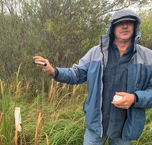
monitoring the hydrology of the fens site.
Water sources, amount of water and what kinds of nutrients and minerals it contains dictates the type of wetland that can be established. How does the Fens Site hydrology and water chemistry drive the types of plants growing in different areas of the wetland?
During the earlier restoration effort, 30 shallow (4-8 feet) pipes were installed for easy monitoring of water in the peat layers below ground. Automatic water level loggers were recently installed in each pipe to get 24/7 records over the entire growing season. Deeper pipes (6-10 feet) were also installed to collect deep water trapped in the old lake sediment layer below the peat, possibly dating back to the last glacial period.
“The deep and shallow well data will allow us to tell if rain and surface water are making it into these deep mineral and sediment layers, or if the water is flowing horizontally through the above peat and muck layers,” explained NRRI Applied Limnologist Chris Filstrup, who is leading the hydrology and water chemistry work.
Looking ahead
Once research protocols have been established and tested at the NRRI Fens Site, the team will expand their sampling to nearby examples of peatlands that have not been drained and farmed, and sites that were drained, farmed and abandoned. This comparison will allow the team to show how well the NRRI restoration effort has progressed toward an undisturbed peatland and how far it has come from its disturbed and abandoned state.
At the end of the project, the team will have a set of recommended indicators for peatland restoration success assessment along with an estimate of the cost and amount of effort it takes to collect the data for each indicator.
